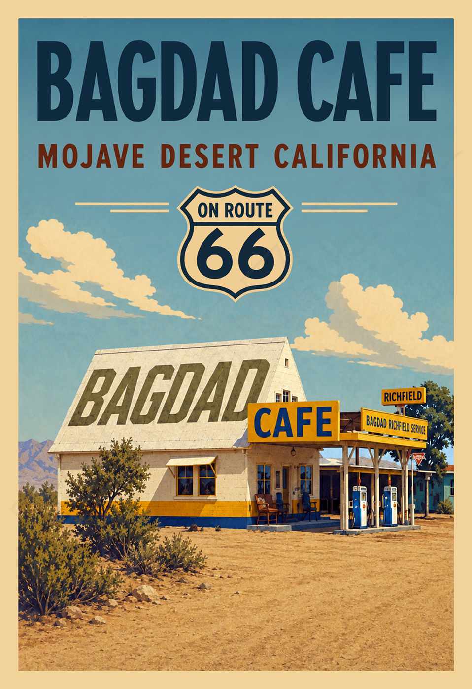
This beautiful reproduction poster has been re-mastered from original artwork on found on a 1920s Automobile Club of Southern California Map folder for U.S. Route 66 and National Old Trails Road.
The vibrant colors and detail of this classic image have been painstakingly brought back to life to preserve a great piece of history.
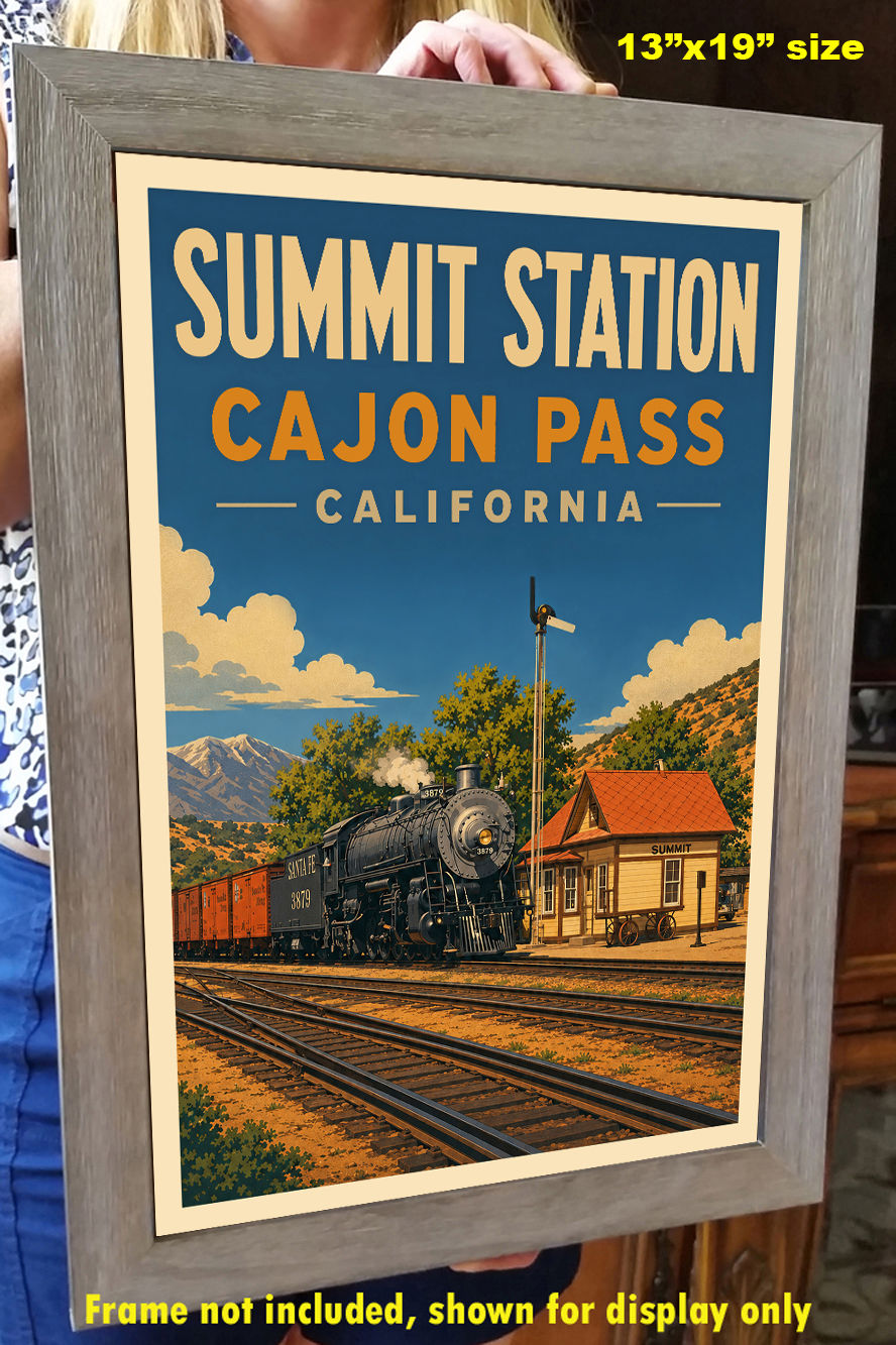
The high-resolution image is printed on heavy archival photo paper, on a large-format, professional giclée process printer. The poster is shipped in a rigid cardboard tube, and is ready for framing.
The 13"x19" format is an excellent image size that looks great as a stand-alone piece of art, or as a grouped visual statement. These posters require no cutting, trimming, or custom framing, and a wide variety of these frames are readily available at your local craft or hobby retailer, and online.
A great vintage print for your home, shop, or business!
NATIONAL OLD TRAILS ROAD DEVELOPMENT IN THE UNITED STATES
Although the western half of the National Old Trails Road was signed by the Automobile Club of Southern California in mid-1914, according to their in-house magazine Touring Topics, the routing remained under much discussion until 1917. In particular, the western alignment was debated, with an early proposed routing going though Phoenix, Arizona, and San Diego, California, up to San Francisco, California.
Eventually, however, the alignment below was agreed upon, which followed earlier Indian trails, preexisting railroad tracks and, in some cases, new construction.
Throughout its life, the road was upgraded and realigned in order to improve the route. But, by 1926, significant portions in the west remained difficult to drive on, and much remained unpaved. Only 800 miles (1,300 km) were paved in 1927. Most of the road that traversed the California desert was widened and paved (or "oiled") by the late '20s, reportedly by a process pioneered by a local road superintendent, and some of this blacktop still can be found to this day.
In 1926, the section west of Las Vegas, New Mexico, to Los Angeles, California, was certified as U.S. Highway 66, (now better known as U.S. Route 66) by the AASHTO, as was a section in the St. Louis, Missouri area (Manchester Road).
After U.S. Route 66 was decommissioned, in eastern California portions of the road were renamed with the old name, and signed accordingly. Most of the modern-day "National Trails Highway" follows latter-day U.S. Route 66, however, and not any of the alignments that actually were part of the original road (the main exception being the section of road between Barstow and Victorville, which follows the almost exact routing of the 1925 realignment of the road). The last alignment of National Old Trails Road in California (and the first alignment of U.S. Route 66) followed a distinct course from the modern-day route between Daggett and Essex, California, and now survives only as a series of now-disconnected jeep trails and abandoned tracks in various stages of decay. The modern-day Route 66 in California is a result of a series of realignments that were undertaken in the early 1930s.